
Topographic surveys
Planimetric and elevation surveys using Spectra GNSS RTK, tailored to your project’s scale and objectives.
Discuss this service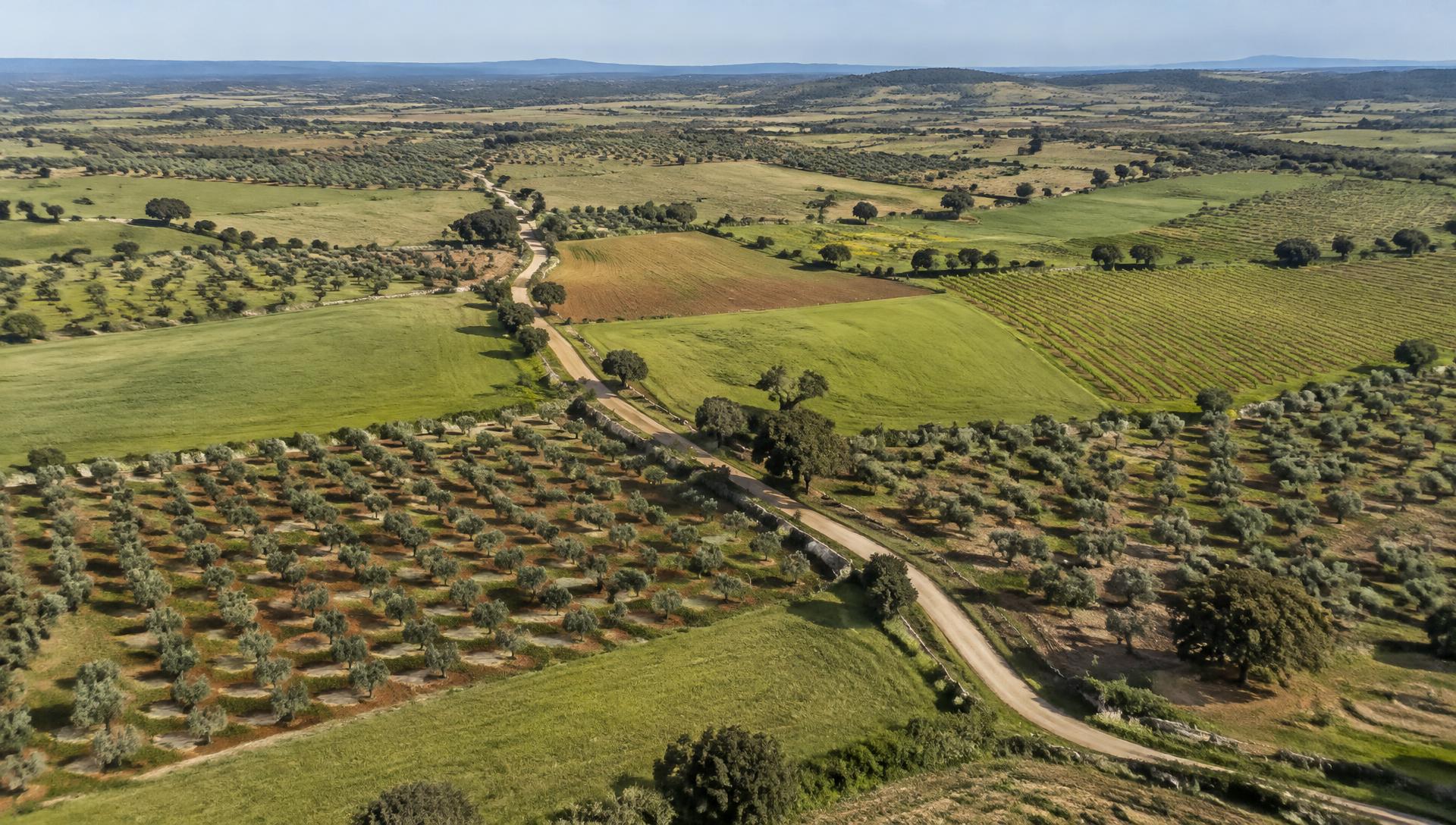
SURVEYING & GEOSPATIAL INFORMATION
We turn the landscape into precise geospatial data. From the first measurement to the final decision, we build a solid foundation for your projects.
WHAT WE DO
Integrated surveying and geospatial information solutions, tailored to the challenges of every site.
Planimetric and elevation surveys using Spectra GNSS RTK, tailored to your project’s scale and objectives.
Discuss this serviceAerial LiDAR with DJI Matrice 400 RTK and Zenmuse L3 for digital terrain models and high-density point clouds.
Discuss this serviceA complete, up-to-date view of your site, with high-resolution georeferenced aerial imagery.
Discuss this serviceTerrain modelling, contour lines and land analysis to inform sound engineering decisions.
Discuss this serviceStructured CAD / DXF information and mapping of water, irrigation and wastewater networks.
Discuss this serviceSurveys of culverts, pipelines and infrastructure corridors.
Discuss this serviceSetting out and geometric construction monitoring with the Spectra Focus 35 robotic total station.
Discuss this serviceBathymetry with Teledyne Z-Boat 1800H for river and reservoir bed and depth surveys.
Discuss this serviceGeoreferenced capture of road corridors and urban spaces using mobile mapping systems.
Discuss this serviceSurvey monitoring of displacement and deformation in bridges, buildings and other structures.
Discuss this serviceGround control and check points for the orientation and validation of photogrammetric surveys.
Discuss this serviceSurveying and organisation of cadastral information on parcels, infrastructure and utility networks.
Discuss this serviceStructuring, analysis and integration of data in geographic information systems.
Discuss this service3D laser scanning with Leica RTC360 to document buildings, structures and industrial facilities.
Discuss this serviceFUTUREPOINT
FIELD TECHNOLOGY
From aerial surveys to precision measurement, technology suited to every project.
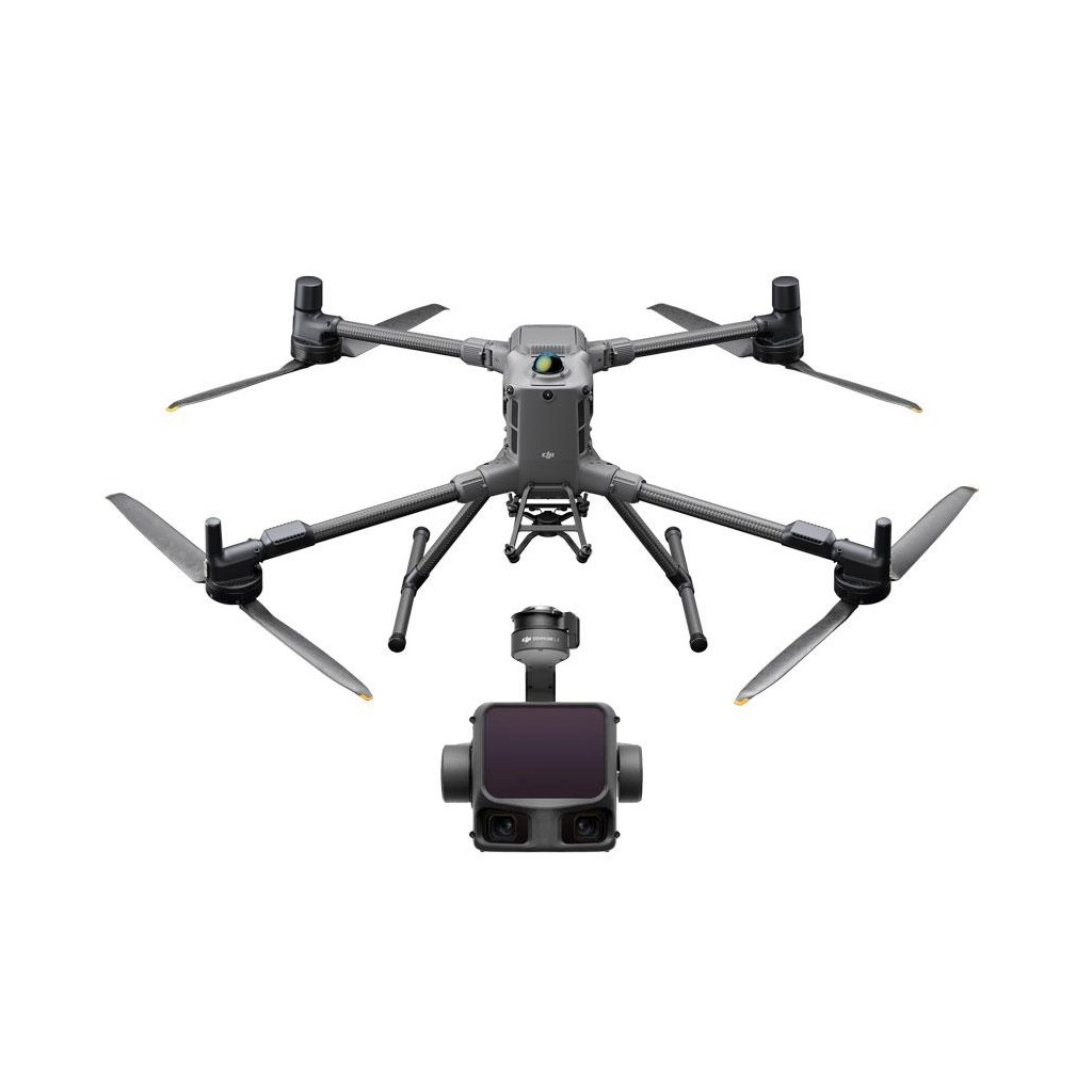
Aerial LiDAR for terrain models and high-density point clouds.
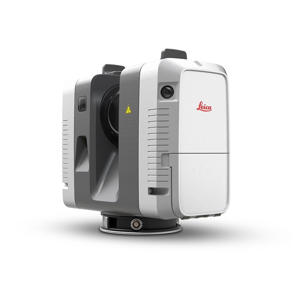
3D laser scanner for documenting buildings and structures.
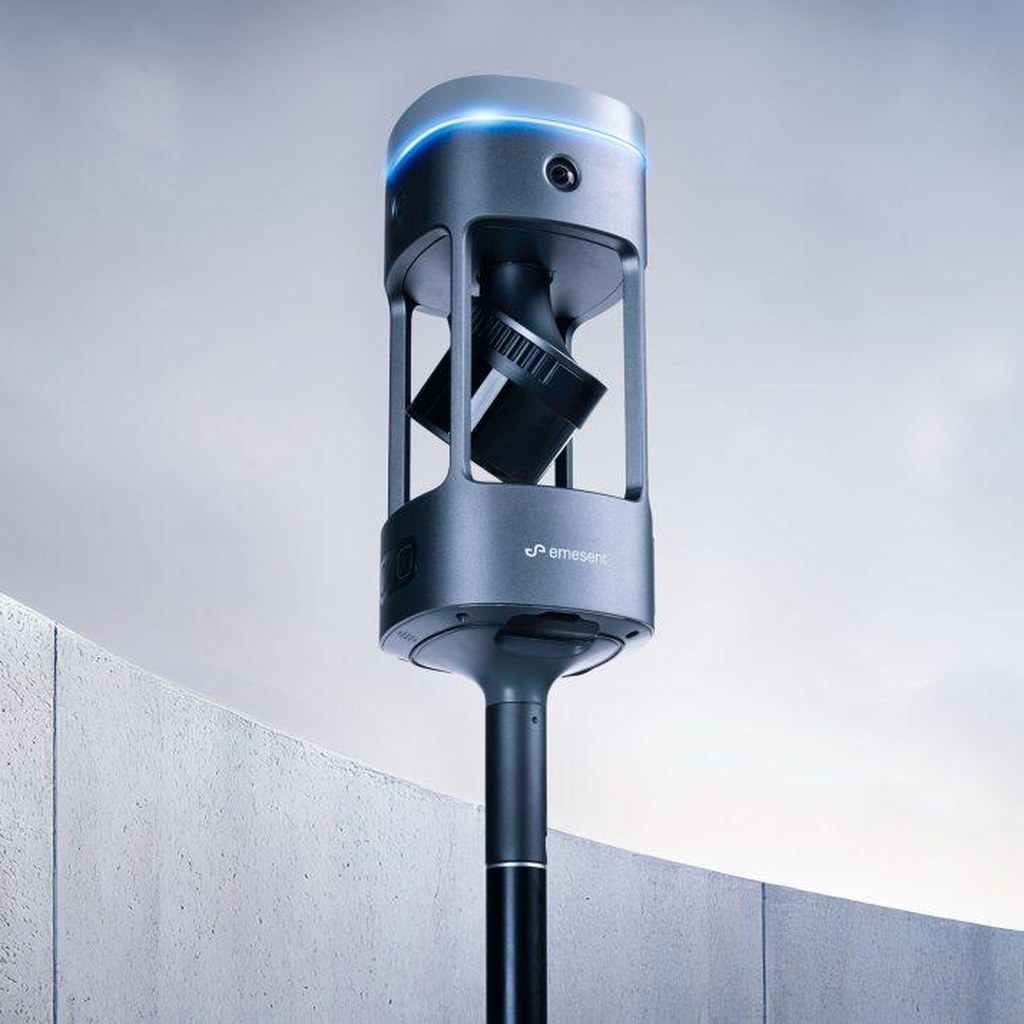
SLAM LiDAR scanning for mobile mapping along routes and indoors.
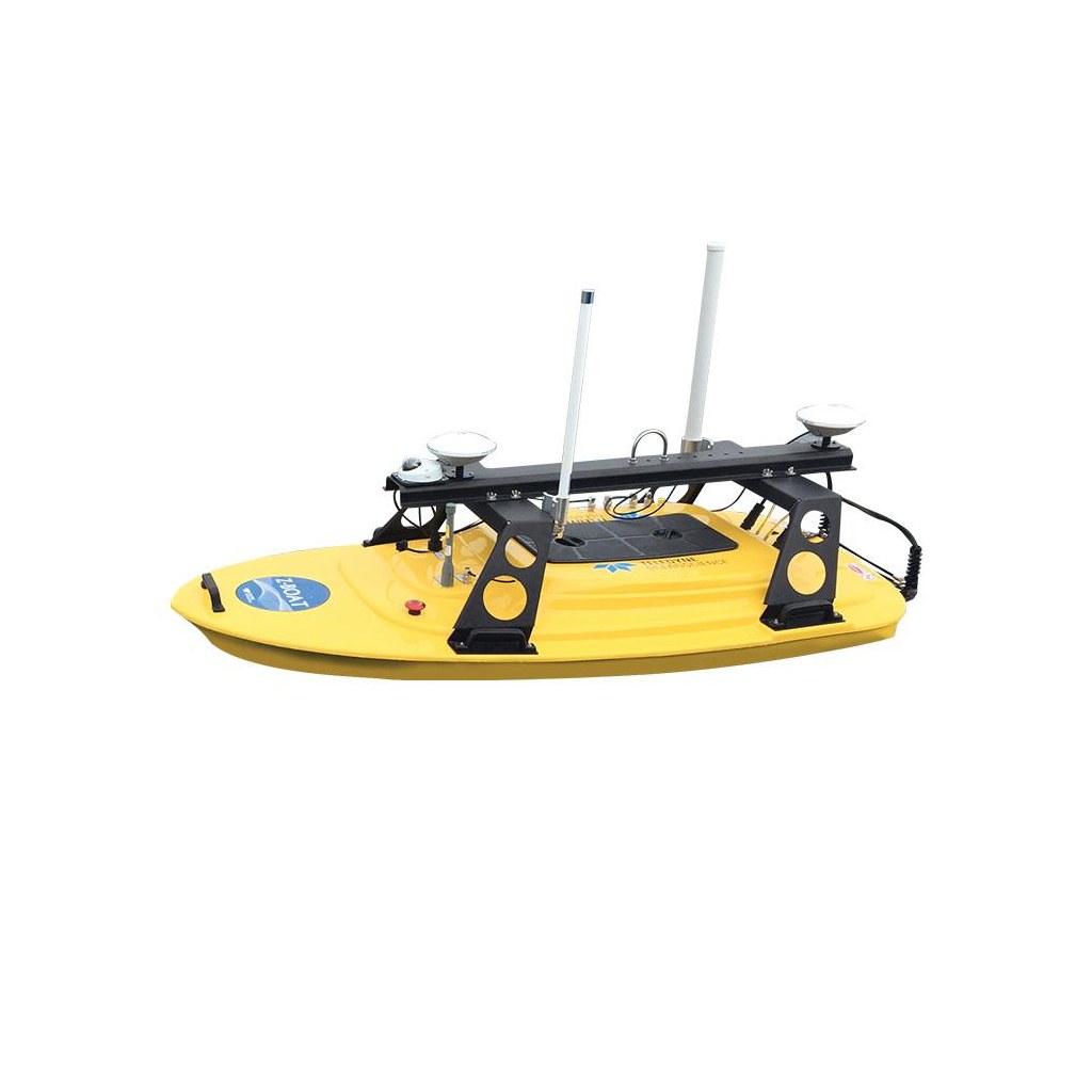
River and reservoir bathymetry with an unmanned survey boat.
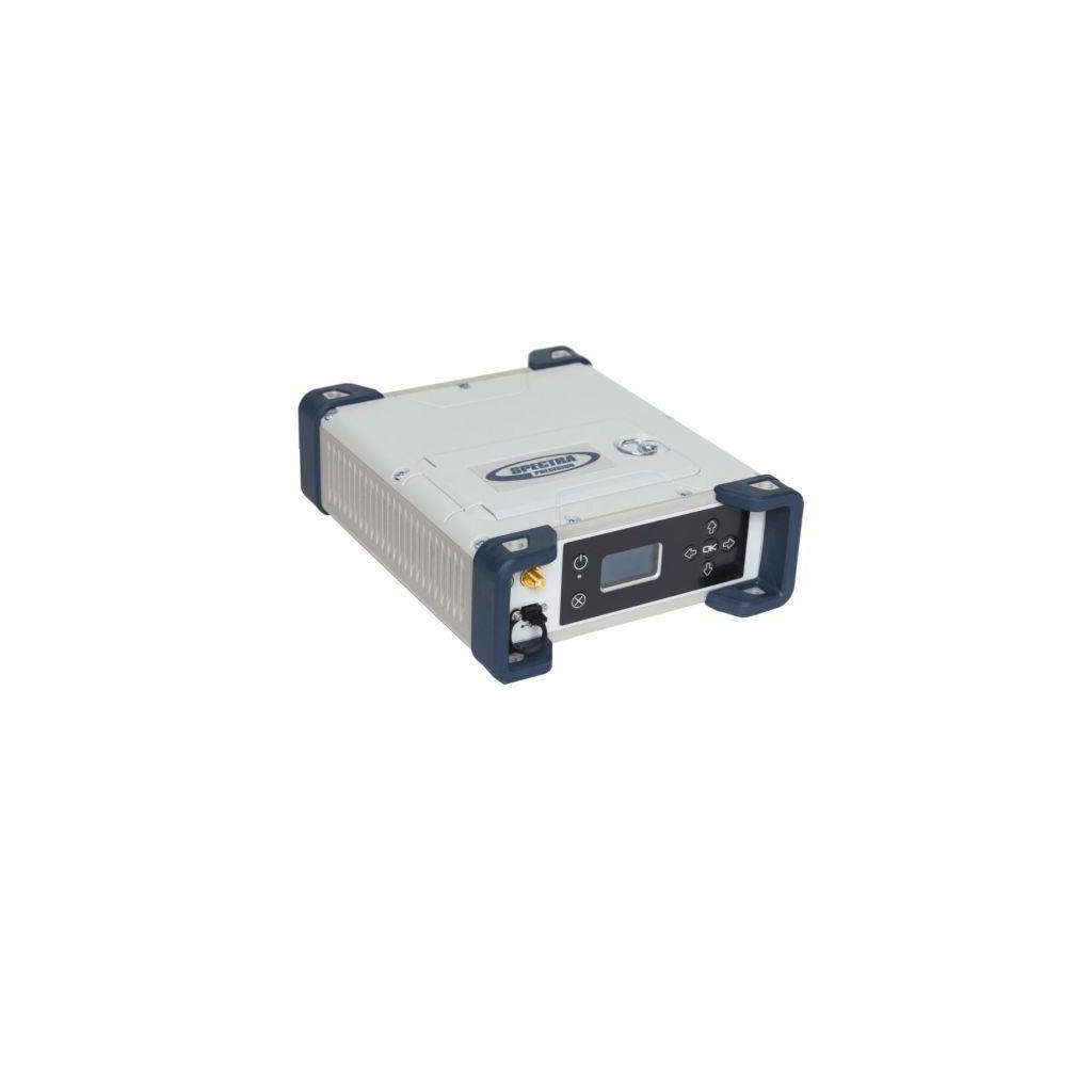
Precision GNSS positioning and reference support.
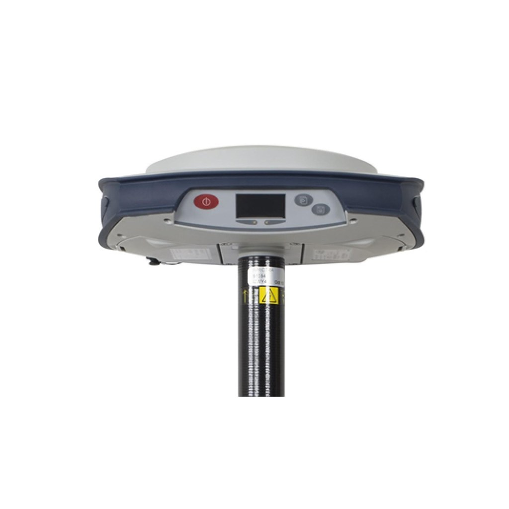
Surveys and setting out with RTK positioning.

Georeferenced point collection in the field.
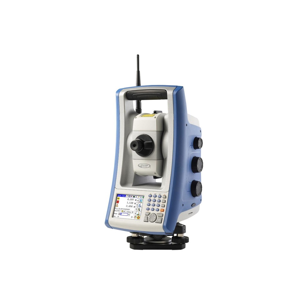
Robotic total station for setting out and construction monitoring.
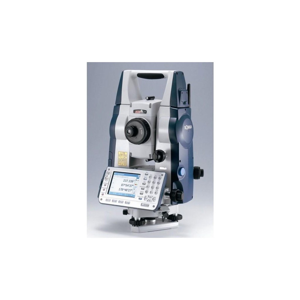
Angle and distance measurement for precision surveying.
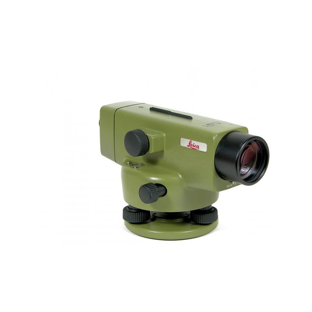
Precision levelling and elevation control.
Photographs of our team’s equipment.
FROM THE GROUND UP
Explore applications of our work, from water management to engineering support.
The FuturePoint team’s experience spans three continents.
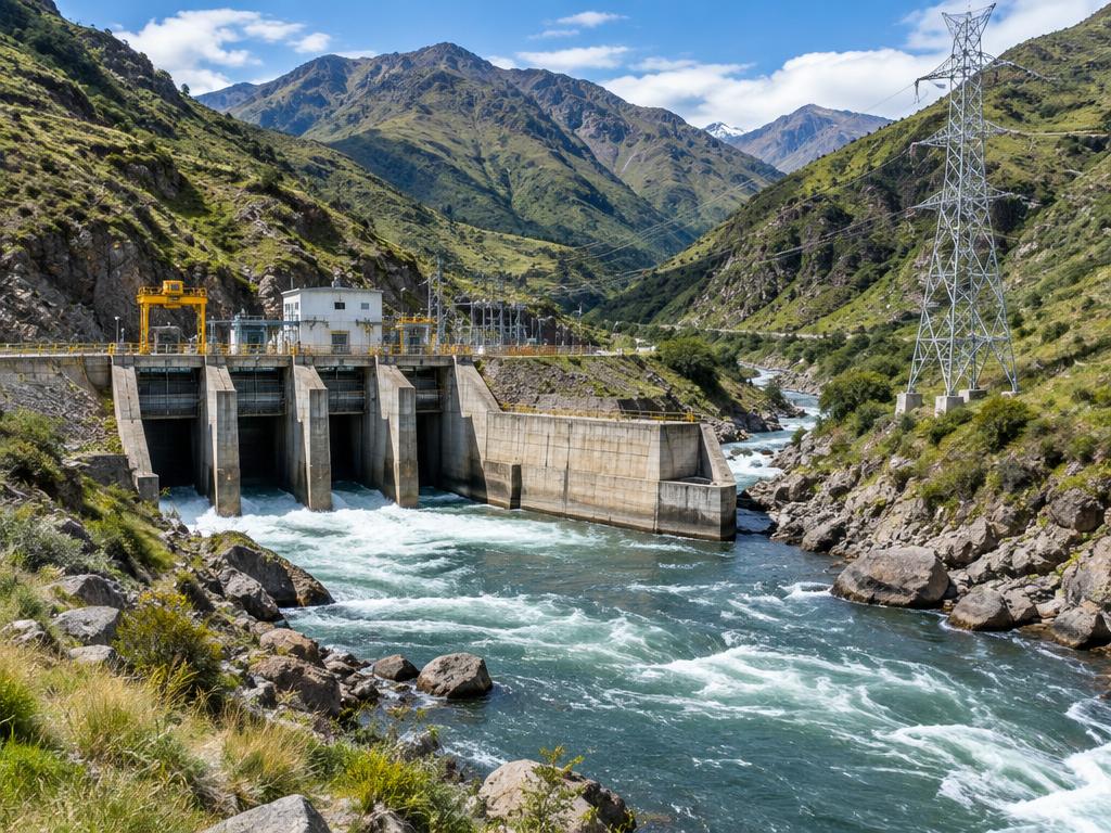
Topographic support for the San Gabán III hydroelectric power plant and its high-voltage transmission line in the Puno region.

Precision surveying for float-glass production line reconstruction across six countries.
Client: Saint-Gobain, Fives Stein, Euroglas, Sangalli, CBVP
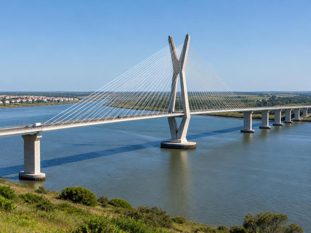
Surveying and structural monitoring on the Guadiana International Bridge linking Portugal and Spain.

Topographic survey, cadastre and digital terrain model (DTM) for a resort.
Client: OTO Arquitectos

Surveys and topographic support for land subdivision in Porto Amboim and Viana Logistic Park.
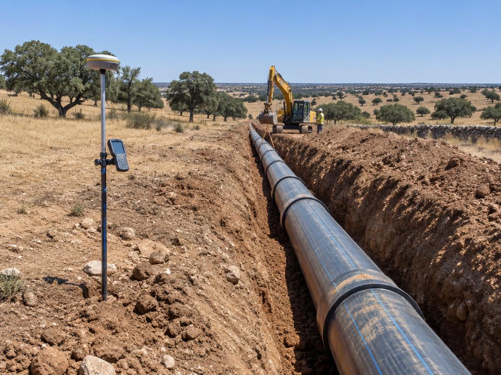
Topographic survey and cadastre of pipelines and reservoirs in the Águas Públicas do Alentejo water supply networks.
Client: Águas Públicas do Alentejo
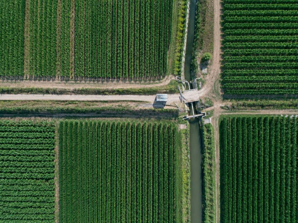
Surveying support for the Alvito Dam irrigation network, spanning around 200 km, and supervision of the EDIA primary network.
Client: EDIA
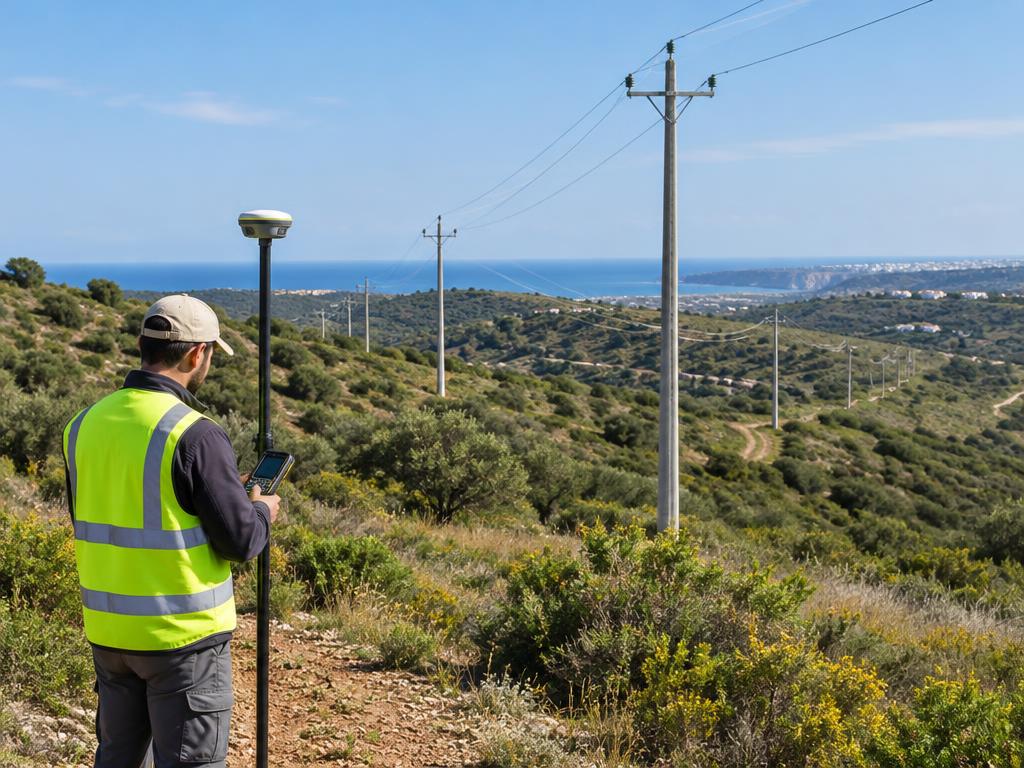
Surveys, profiles and setting out of medium-voltage lines — exclusive company coverage throughout the Algarve.
Client: EDP
Construction survey monitoring at Continente stores, with geometric monitoring of building works.
Client: Sonae
ABOUT FUTUREPOINT
FuturePoint International Solutions is a Portuguese company specialising in surveying and geospatial information, operating from its headquarters in Serpa (Baixo Alentejo, Portugal) and its office in Rosal de la Frontera (Spain), serving clients in Portugal, Spain and internationally. Our mission is to turn the complexity of terrain into clear, practical and technically accurate information.
We combine fieldwork and data processing to support designers, construction companies and infrastructure managers. Every deliverable is shaped around the real needs of the project.
This space will introduce the FuturePoint team, their expertise and their experience in the field.
LET’S TALK
Tell us what you need. Let’s find the right solution for your site.
Praceta Florbela Espanca, nº 23 – Loja 5, 7830-335 Serpa, Portugal
+351 934 881 760Avenida de Portugal, 84 PBJ, 21250 Rosal de la Frontera (Huelva), España
+34 687 059 377